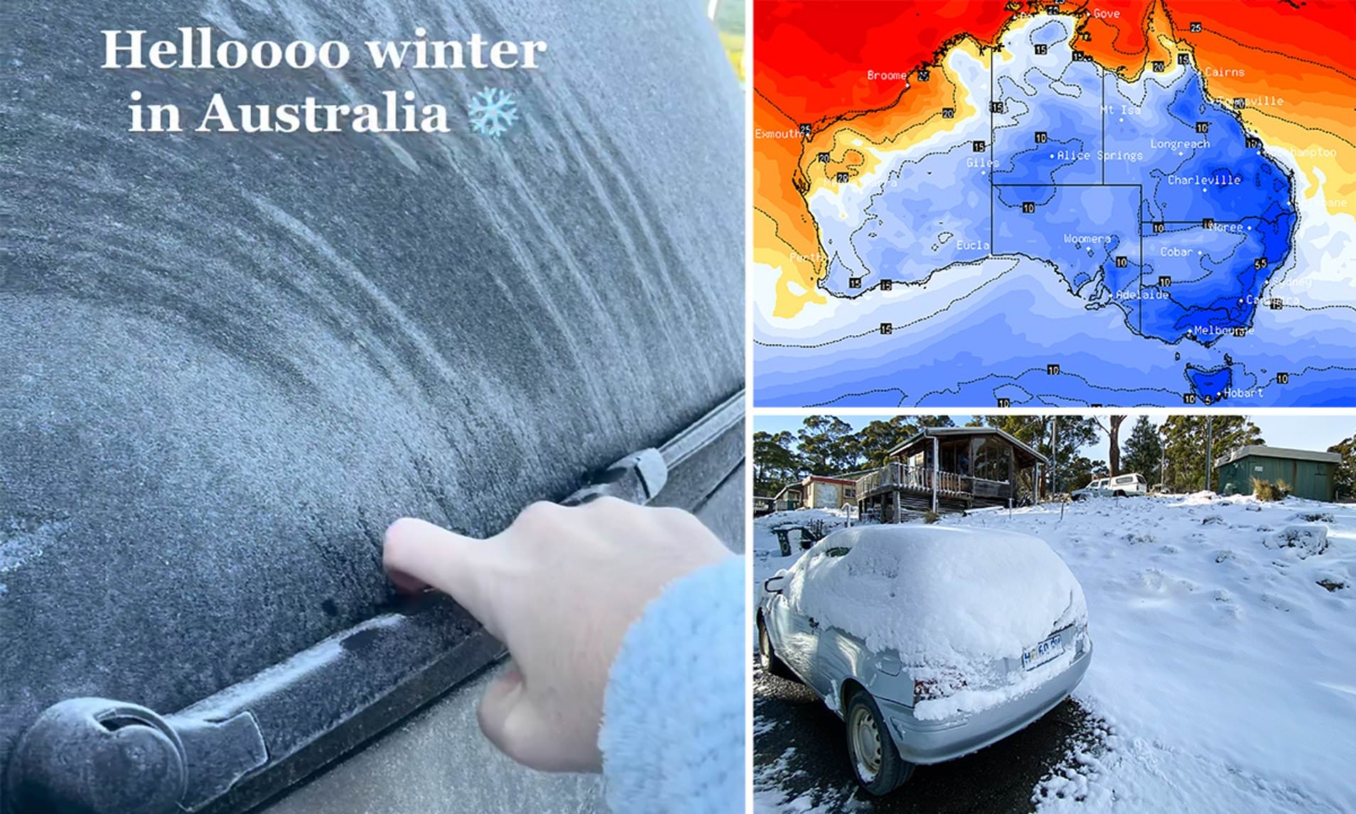
It is anticipated that a high-pressure system will move across parts of southeast Australia, bringing much lower temperatures and possible frost.
The Bureau of Meteorology has warned that the system is expected to strengthen on Tuesday, bringing “a stretch of cool days and cold and frosty nights.”
A high-pressure system will strengthen over SE #Aus on Tuesday, bringing a run of cool days and cold and frosty nights. Overnight minimum temps will drop well below average, with frost areas a risk. Latest: https://t.co/Z5xkAj2u6z pic.twitter.com/4DVklOj94H
— Bureau of Meteorology, Australia (@BOM_au) July 18, 2022
Over the following few days, it is anticipated that some areas of Victoria, New South Wales, Tasmania, and South Australia will all see morning temperatures between 4 and 8 degrees Celsius lower than average.
The Central Business District of Melbourne saw temperatures as low as 11.4 degrees Celsius on Monday, making it one of the city’s coldest days of the year.
Temperatures as high as 15 degrees Celsius and as low as 1 degree Celsius are forecast for Melbourne during the next few days.
Showers are forecasted to continue nonstop in Sydney with highs of 16C and 10C lows, while the capital city of Canberra is forecasted to see highs of 13 degrees Celsius and lows of a chilling -1C.
In Adelaide, a high of 14 degrees Celsius and a low of 5 degrees Celsius are forecasted, whilst in Hobart, a high of 11 degrees Celsius and a low of 1 degree C are anticipated.