
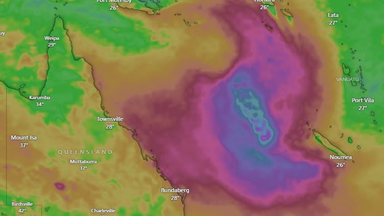
A tropical low is brewing in the northern Coral Sea, and the Bureau of Meteorology is keeping a close eye on it.
The system, known as 22U, has a moderate chance of developing into a tropical cyclone by Saturday, with that chance increasing to high by Sunday.
What You Need to Know
According to senior forecaster Felim Hanniffy, the low will drift eastward over the next few days, moving away from the Queensland coast.
However, there’s still a lot of uncertainty about its movement, which could impact the coast. If it does develop into a cyclone, we can expect rough seas and windy conditions along much of the east coast.
Weather Forecast for the Week
Looking ahead to Friday, a south-easterly wind is expected to bring showers to the east and parts of the north-east tropical coasts.
Some areas could see localized moderate falls, particularly along the north tropical coast. Isolated thunderstorms are also forecast for the Cape York Peninsula, Gulf Country, and the northern and central interior.
Temperature Update
If you’re in Queensland’s western interior or western peninsula, expect maximum temperatures to be above average.
Meanwhile, the rest of the state should prepare for potential wild weather.
Stay Tuned for Updates
We’ll be keeping a close eye on the tropical low and bringing you updates as more information becomes available.
In the meantime, make sure to follow us for the latest news and weather forecasts.