
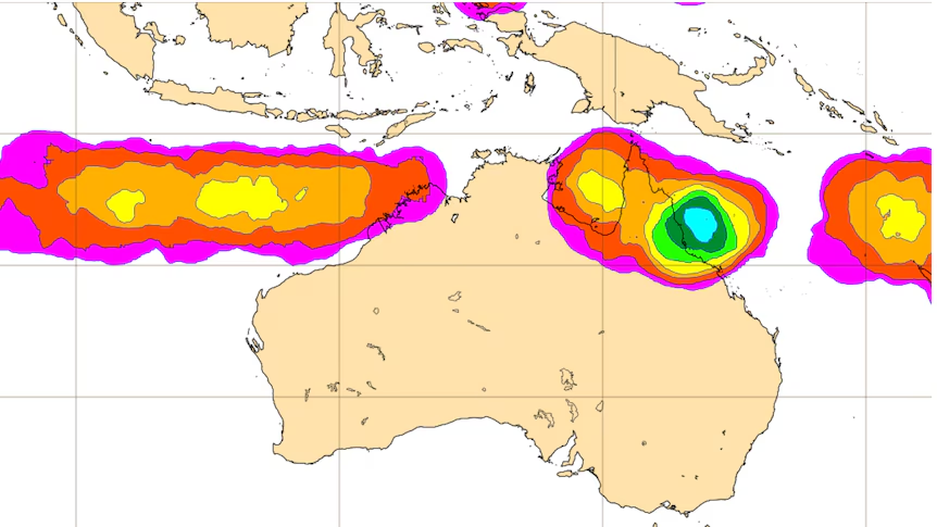
A tropical low is lingering off the coast of North Queensland, threatening to bring severe weather to the region in the coming days.
The system, located about 505km east northeast of Cairns, is moving at a slow pace of 6km per hour eastwards.
What You Need to Know
- Sustained winds near the centre of the low are reaching about 75km/h, with wind gusts of up to 100km/h.
- The Bureau of Meteorology (BOM) predicts the system will turn southeast and then south while continuing to strengthen, but its path remains uncertain.
- Forecasters warn that the system could develop into a category 2 tropical cyclone by Sunday, bringing gusty conditions, showers, and increased swell to the central and northern Queensland coast.
The Latest from the BOM
Senior meteorologist Angus Hines says the system could reach category three by the end of the week as it continues to gain strength from the warm waters of the Coral Sea.
However, Mr Hines notes that the weather formation is unlikely to move quickly should it strengthen into a tropical cyclone, and will likely linger in the Coral Sea for several days.
Will It Make Landfall?
While the system may start to move more swiftly later in the week, its trajectory is still uncertain.
Mr Hines explains that there are a few possible paths it could follow, most of which would result in the system moving away from Australia, resulting in weakening impacts.
However, there is still a chance that the system could veer towards Queensland, bringing stronger weather impacts to parts of the coast.
Another Tropical Low Forms Off Western Australia
Meanwhile, a second tropical low has formed off the Western Australian coast, forecast to develop into a tropical cyclone.
However, this system is located more than 500km north in the Indian Ocean and is moving further west, with little to no impact expected for the Australian mainland and offshore islands.
Stay tuned for further updates as the situation develops!