

North Queensland on High Alert as Monstrous Storm System Unleashes Torrential Rain and Flash Flooding Fears
- Severe weather warning issued for northwest and northeast Queensland as residents prepare for catastrophic deluge
- Heavy rainfall totals of up to 260mm expected, with flash flooding predicted for multiple areas including Cairns and Townsville
- Flood watches and warnings issued for regions across the state, with residents warned to take immediate action to protect themselves and their livestock
The Bureau of Meteorology has sounded the alarm, issuing a severe weather warning for northwest and northeast Queensland as a monsoon trough combines with a low-pressure system to create the perfect storm. The region is bracing itself for torrential rain and flash flooding, with residents on high alert.
The warning, issued on Sunday morning, affects areas including Mount Isa, Cloncurry, Burketown, Mornington Island, Normanton, Cairns, Innisfail, Tully, Doomadgee, Richmond, Julia Creek, Camooweal, Ingham, and Croydon. A six-hourly rainfall total of 75mm to 120mm is expected, with isolated falls of up to 170mm possible.
“Together, these systems are likely to generate widespread heavy rainfall across parts of northern Queensland,” the Bureau warned. “Areas of heavy rainfall about northwest Queensland are forecast to persist into early next week, with locations and rainfall totals subject to the position and strength of the low-pressure system.”
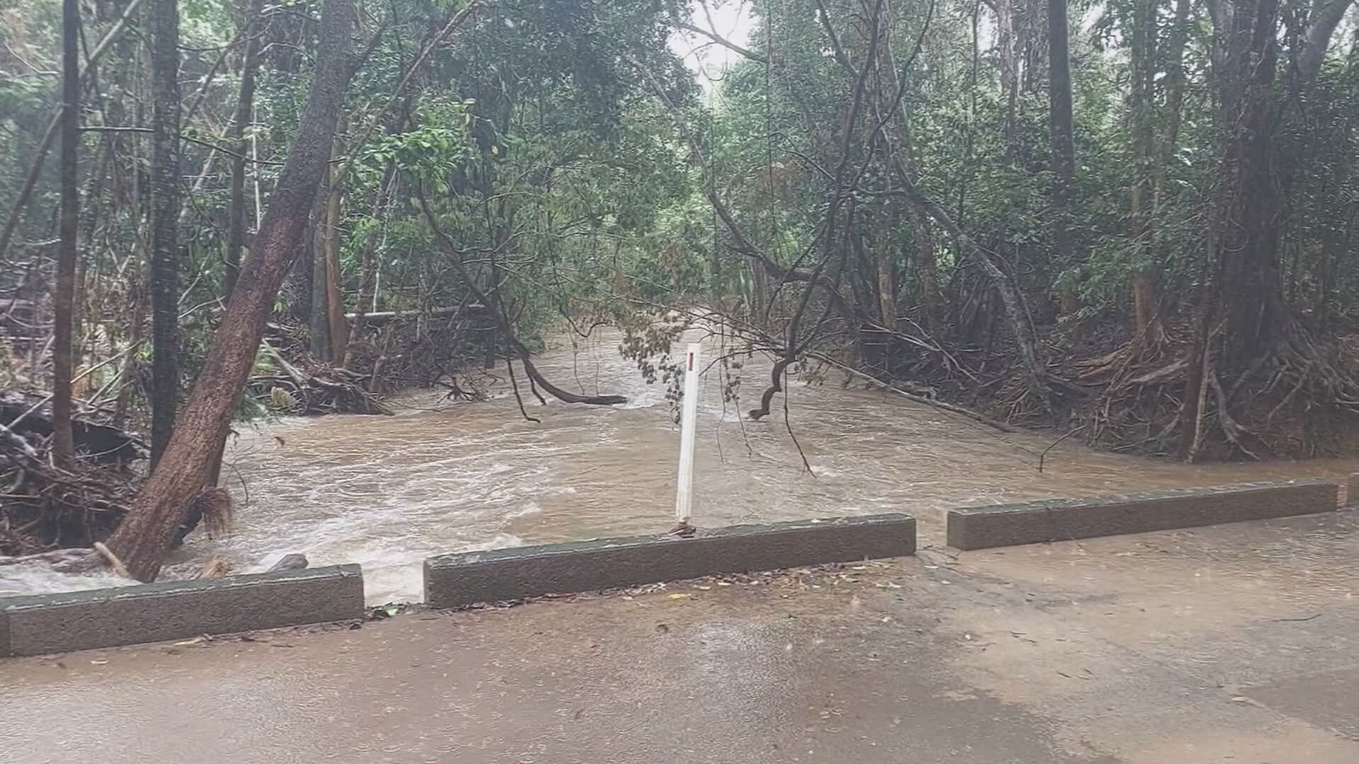
The same weather situation will also bring heavy rainfall to areas between Cairns and north of Townsville late on Sunday, persisting into Monday. Six-hourly rainfall totals of 120mm to 200mm are likely, with isolated falls of up to 260mm possible.
Flood watches and warnings have been issued for multiple areas in the north of the state, with residents told to take immediate action to protect themselves and their livestock. The next update will be issued by the Bureau at 5pm AEST on Sunday.