

Wild Weather Chaos: East Coast Breathes a Sigh of Relief as Western Australia Braces for Catastrophic Storm
- A massive storm system that battered the eastern states with torrential rain and flash flooding is moving offshore, leaving a trail of destruction in its wake.
- Western Australia is bracing for a violent cold front that could bring destructive winds of over 100km/h and significant river flooding, with Perth expected to bear the brunt of the storm on Sunday.
- Thousands of AFL fans heading to Optus Stadium on Sunday night are being urged to rug up and allow extra travel time as the severe weather system threatens to cause chaos.
- Authorities are warning residents to secure loose outdoor items, avoid unnecessary travel, and monitor the latest updates as the storm is expected to bring debris, reduce visibility, and cause dangerous driving conditions.
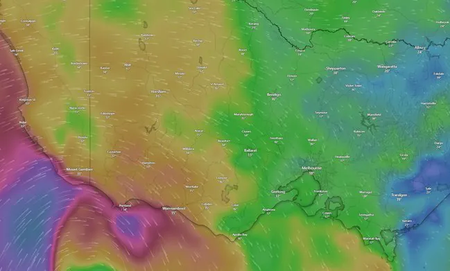
As the eastern states finally welcome a dry and settled weekend after days of torrential downpours and flash flooding, Western Australia is bracing for a severe weather system that could bring catastrophic consequences.
The dramatic easing of conditions in the east comes after a massive system dumped close to 150mm of rain on parts of NSW and caused widespread disruption across Queensland.
The Bureau of Meteorology’s senior meteorologist, Christie Johnson, said the east coast had experienced cumulative totals of 70mm to 100mm in many places over the last two days, with some areas receiving even more.
“On Thursday, rain and thunderstorms once again spread across southeast and central Queensland,” Ms Johnson said. “Through the afternoon, the focus was around the Darling Downs where around 20 to 40 millimetres of rainfall was observed.
And then in the night, storms moved over the southeast coast and parts of the Wide Bay regions where there were widespread falls of around 10 to 30 millimetres.”


As the system tracked south, it delivered intense rainfall to the NSW Hunter and Mid-North Coast regions, with Comboyne recording 126mm, Mount Barrington receiving 117mm, and Careys Peak recording a massive 148mm in the 24 hours to 9am on Friday.
While minor flood watches remain for coastal NSW rivers, Ms Johnson confirmed the worst had passed for the east.
But as the sunshine returns to the east, the bureau is expected to issue severe weather warnings on the other side of the country.
Forecasters warn that the powerful front will first smash the South West Coast before surging north, with the worst of the weather expected to slam into Perth on Sunday afternoon and evening.
Damaging wind gusts of more than 100km/h are possible across the Perth metro area, threatening to bring down debris, reduce visibility, and cause dangerous driving conditions.
Bureau meteorologist Jessica Lingard said conditions would quickly deteriorate from Saturday before peaking late on Sunday.
“There is the chance of flooding on some major roads because of abnormally high tides and strong winds pushing water up the river system,” Ms Lingard said.
Authorities are already closely monitoring low-lying locations for inundation, particularly along Riverside Drive and the Kwinana Freeway near Como, where the freeway runs parallel to the rising Swan River.
Analysis: What This Means for Australia The severe weather system barrelling towards Western Australia is a stark reminder of the country’s vulnerability to extreme weather events.
With climate change expected to increase the frequency and severity of such events, it’s crucial that authorities and residents take necessary precautions to minimize the impact.
The storm’s potential to cause chaos for thousands of AFL fans heading to Optus Stadium on Sunday night also highlights the need for emergency services to be prepared for mass events during severe weather conditions.
Security analysts say the storm’s impact on Western Australia’s infrastructure and economy could be significant, with potential disruptions to transportation, communication, and essential services.
Law enforcement insiders warn that the storm’s aftermath could also lead to an increase in looting and other opportunistic crimes, emphasizing the need for a strong police presence in affected areas.
Industry observers believe the storm could also have a devastating impact on Western Australia’s agricultural sector, with crops and livestock potentially destroyed or damaged by the severe weather.
As the storm approaches, residents in Western Australia are urged to stay informed, follow evacuation orders, and take necessary precautions to ensure their safety.
The Department of Fire and Emergency Services and the Bureau of Meteorology are working closely together to provide timely updates and warnings, and residents are encouraged to monitor their websites and social media channels for the latest information.
For emergency assistance during these weather events, residents nationwide can call the SES on 132 500, or triple-0 in life-threatening situations. With the storm expected to bring catastrophic consequences, it’s crucial that residents take the necessary precautions to stay safe and minimize the impact.