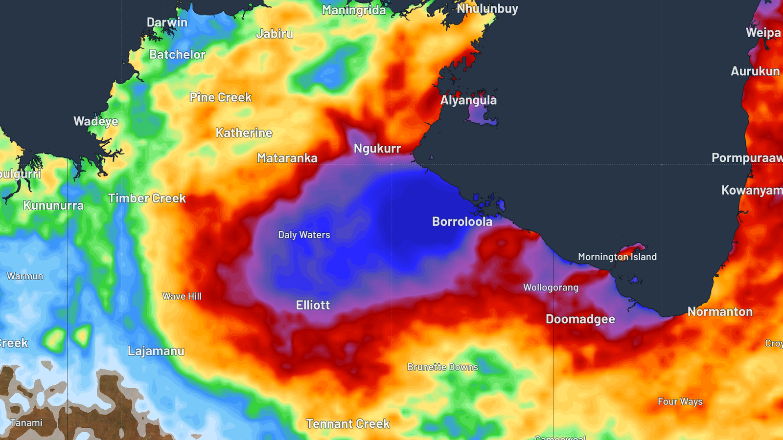
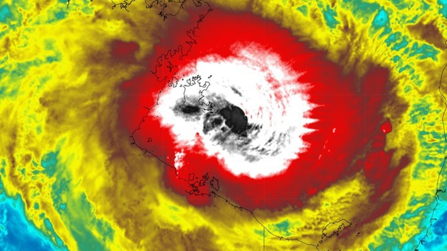
Residents in Queensland and the Northern Territory are being warned to prepare for the arrival of Tropical Cyclone Megan, which has been upgraded to a category three storm.
It’s expected to make landfall somewhere in the NT sometime this evening or tomorrow.

The storm formed on Saturday afternoon in the Gulf Of Carpentaria and has already dumped several inches of rain on an island in the region.
On the island, the 24 hours to 9 am on Sunday recorded a total of 431mm, while the previous day it had recorded 249mm.
The storm’s destructive core has been estimated to have winds of up to 200 kilometers per hour.
The Bureau of Meteorology also noted that strong winds with gusts of over 125 kilometers per hour are expected to affect areas between the Queensland border and the Nathan River in the Northern Territory.
Residents residing in the northern regions of the Top End have been urged to leave their homes and prepare for the storm.
According to Weatherzone, the storm is expected to bring heavy rain to the Northern Territory.
It noted that the region could see up to 200mm of rain. In addition to this, isolated areas could receive up to 500mm of rain.
The Bureau of Meteorology also stated that high tides are expected to occur along the coast of Queensland and the Northern Territory as the storm moves inland.
It noted that the storm is expected to weaken over the next couple of days. Residents should check the agency’s website for more information.

