
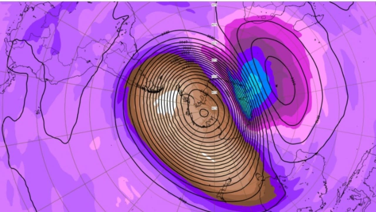
A weather phenomenon that’s growing over Antarctica could bring cold fronts and rain to parts of Australia in the coming weeks. This rare weather event is caused by an increase in the air temperature in the stratosphere, which is around 20-40 kilometers above Earth’s surface.
According to Weatherzone, the warm air from Antarctica will eventually move toward the mid-latitudes and allow cold air to escape.
This could cause cold fronts to develop over southern Australia, and strong winds and snow to fall in the southeast and southwest regions.
The weather phenomenon could cause reduced rainfall in some areas of Australia. It could also disrupt the weather patterns in the country, such as the persistent high pressure in the Bight.
As a result, drought conditions in South and Western Australia could be relieved. In addition, severe weather warnings have been issued for the regions in southeast Australia due to strong winds and heavy rainfall.
The low pressure system that’s developing over the Tasman Sea is bringing rain and strong winds to parts of Tasmania, NSW, and Victoria.
It’s expected to continue bringing wild weather to these regions over the next couple of days. On Monday morning, parts of Tasmania received up to 20 millimeters of rain. In addition, wind gusts of up to 100 kilometers per hour were reported at Mount Wellington.
In Victoria, the weather phenomenon resulted in wind gusts of up to 119 kilometers per hour at Wilsons Promontory. Ferny Creek also experienced more than 30 millimeters of rainfall on Sunday. Although the weather conditions in Tasmania and Victoria were windy and wet, only 5 millimeters of rain fell in NSW.
A severe weather warning has been issued for the regions in Tasmania that include King Island and parts of the North East, South East, Central North, East Coast, and Midlands.
People in the areas affected by the weather include the Huon, East Coast, South East, Derwent, and North East regions. Minor flood warnings have also been issued for the St Pauls River and the Huon River. In Victoria, the Bureau of Weather warned of damaging winds in the Central and South West districts. It also noted that blizzard conditions could occur in the Mt Baw Baw area. The agency warned that the strong winds and snow could cause travel delays.
In NSW, strong winds and blizzard conditions are expected to hit the regions around the Snowy Mountains on Monday morning. Sheep graziers in the Central Tablelands, Northern Tablelands, Illawarra and Southern Tablelands were also warned about the possibility of experiencing severe weather. It noted that the cold temperatures and rain could lead to the loss of lambs. Meanwhile, rain is expected to decrease in Tasmania on Monday evening as the weather system moves east.
The southwest to south-west winds are expected to diminish during the afternoon. According to the Bureau of Meteorology, a cold day is expected to occur across NSW on Monday. It will also see scattered showers and thunderstorms across the western and central slopes. The snow on the Alps could also occur in the Central Tablelands and Northern Tablelands. Brooke Pagel, a community information officer, noted that strong winds and snow could occur in the coastal regions and the Yarra Ranges.