
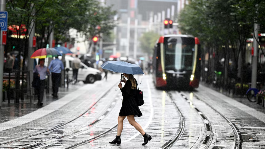
Parts of Australia are going to get drenched this week due to unprecedented rainfall, which is caused by a rare weather phenomenon known as a spring northwest cloudband.
Normally, this weather phenomenon only occurs in autumn and early winter. September is the driest month in the country.
According to experts, the unusual weather phenomenon is expected to become the prelude to a wet summer and spring as the La Nia in the Pacific Ocean develops.
Western Australia is currently experiencing heavy rainfall, which will continue to intensify on Sunday. The rain will then spread to other areas in the eastern and interior states starting on Monday.
The Kimberley and Pilbara regions in Western Australia are expected to receive up to 100 millimeters of rainfall within the next 48 hours.
This is an unusual amount of rainfall for these areas, which usually only get around 0 to 5 millimeters during the entire month of September.
The most intense downpour will most likely occur over inland Australia. It could wipe out the previous month’s rainfall total.
Although the towns of Broome and Port Hedland usually receive only around 1.2 and 1.4 millimeters of rainfall during the month of September, they could receive over 22 millimeters over the weekend.
The Northern Territory and South Australia are expected to receive heavy rainfall starting on Monday.
Other regions such as New South Wales, Tasmania, and Victoria are also expected to get drenched by Wednesday.
The weather outlook for the week ahead is uncertain. It’s possible that the rainband will start to move toward Queensland and the east coast. However, a low-pressure system that’s expected to develop over NSW this week could bring heavy rainfall to Western Australia.
Although most of the country is expected to receive soaking rain, parts of northwest Queensland and the west coast of Western Australia are not expected to get drenched completely.
According to Weatherzone, the weather system could cause a widespread soaking across the country for up to 10 days.
Areas in the Northern Territory and WA that usually receive around 20 to 50 millimeters of rainfall during September could receive up to 100 millimeters of rain.
The widespread nature of the rain event has increased the risk of flooding in different areas. It’s also expected to cause travel disruptions across the country.
People traveling by rail or road should monitor the latest warnings. In the town of Noonamah in the Northern Territory, about 45 kilometers southeast of Darwin, a massive 54 millimeters of rain fell within 24 hours.
This amount of rainfall, which is three times greater than the average for September, is the highest 24-hour total that the town has experienced in 15 years.
Unseasonal moderate to heavy downpours are also expected to occur in WA and the northwest NT from Sunday evening. According to the forecasts, the total rainfall in the region could reach up to 30 to 100 millimeters on Monday and Tuesday.
The combination of these unusual weather conditions could cause overland flooding and localised flooding in some areas, which could affect road access and isolate communities.
The unusual weather conditions that have affected the country are the result of several factors. One of these is the warm ocean temperatures near WA’s north coast, which have allowed for the development of moisture.
The low pressure off WA’s northern coast and the warm ocean temperatures have combined to form abundant clouds. This weather phenomenon is known as convection, which occurs when moisture and heat are transported through the air.
Due to the jet stream’s direction, the humid air will be transported across the nation and could generate more rain and clouds.