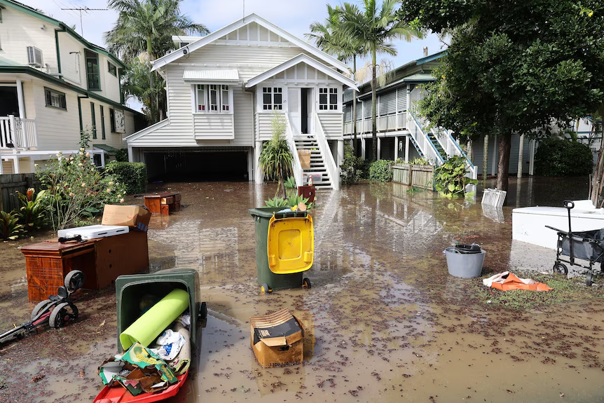
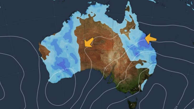
As the dams spill over, the ground becomes increasingly sodden, and more rain looms on the horizon, it’s hard not to wonder: are we in for another major flood event in Queensland?
The Warning Signs are There
Flood expert Margaret Cook from Griffith University’s Australian Rivers Institute has some sage advice: keep an eye out for the ants and snakes in your area. If they’re scurrying for higher ground, it’s time for you to do the same – and fast.
“We’re not at the panic stage yet, but it’s certainly an issue when the ground is so wet, and more rain comes,” she warns. “We’ve already seen flooding, and it’s surprising which areas are affected.”

Remember the Past, Prepare for the Future
Ms. Cook suggests that residents should be on high alert, given the dams are already conducting releases. “We can learn from the past,” she says. “Remember local flood markers and what we wish we’d done last time. Clean out your drains, gutters, and have a battery-operated radio ready. People only panic when they’ve got no sense of control.”
Dams Spilling Hundreds of Megalitres
Seqwater has reassured residents that despite the dams spilling, they’re “well below concerning levels.” However, with the catchment already saturated, the next step will depend on the amount of rain that falls. More significant rain events could fill the flood compartment quickly, and Seqwater is working to keep it as low as possible.
On Track for the Wettest December Since 2010
This week, Brisbane Lord Mayor Adrian Schrinner issued a stark warning that flooding over the summer could be as “catastrophic” as the record-breaking 2022 event. With 81mm of rain falling on Saturday and predictions of above-average rainfall throughout summer, it’s a timely reminder to be prepared.
How Does This Compare to Past Floods?
Senior meteorologist Felim Hanniffy from the Bureau of Meteorology explains that the south-east is on track for the wettest December since 2010, with 301mm of rain already recorded this month. While the historic 2011 flood came after a succession of heavy rain events, the 2022 flood was different, with the ground having time to dry out between deluges.
What’s the Current Situation?
Mr. Hanniffy says that while it’s looking a lot like 2011, we’re not impacted by a La Niña event this time around. Instead, we’re in “neutral” territory, with warm ocean temperatures potentially leading to more intense cyclones and slow-moving ones. “That’s the big difference with this year,” he notes.
Stay Wary, Stay Prepared
As the rain continues to fall, it’s essential to stay vigilant. “The outlooks are pretty muted for January, but they can change in a heartbeat,” Mr. Hanniffy warns. So, take Margaret Cook’s advice to heart: be prepared, stay informed, and keep an eye out for those ants and snakes – they might just be the warning signs you need to stay safe.

