

As school students head back to classrooms this week, Queenslanders are bracing themselves for another chilly week with widespread frost and cool conditions.
Bureau of Meteorology senior meteorologist Dean Narramore says cold starts and sunny days are on the way, with large parts of the state set to experience frosty mornings and bright, sunny afternoons.
“It’s going to be a chilly one, especially for those heading back to school,” Mr Narramore warned.
“But don’t worry, it’ll be a beautiful, sunny day across the state on Monday.”
Temperatures Plunge Below Zero
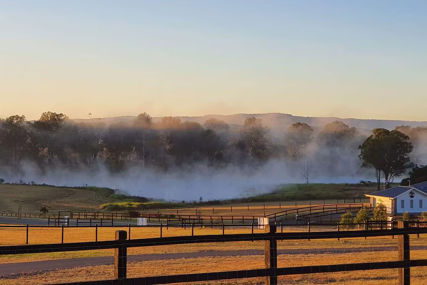
Over the weekend, temperatures plummeted below zero in parts of the Darling Downs and Granite Belt, as well as the Maranoa and Warrego districts.
On Monday morning, Oakey residents woke up to a chilly -3.5 degrees Celsius, with other areas like Applethorpe, Stanthorpe, Roma, Miles, and Warwick also experiencing temperatures around -2C to -3C.
“These areas will have the coldest temperatures, but single figures will extend well north, even up into Mount Isa and the Flinders Highway,” Mr Narramore said.
What to Expect This Week
The Bureau of Meteorology says a large high-pressure system is bringing a cool and frosty start to the day, with maximum forecast temperatures ranging from the low to mid-20s for southern parts of the state, and high 20s to low 30s for northern areas and the far west.
“It’s typical winter weather for this time of the year, and it’s the story statewide for much of the week,” Mr Narramore said.
However, winds are expected to pick up by the end of the week, bringing a chance of showers and cloud cover to eastern and south-eastern Queensland on Friday afternoon and Saturday.
“So, cold mornings, a sunny week, and then we could see some cloud and showers returning, with warmer nights on Friday and into the weekend,” Mr Narramore warned.