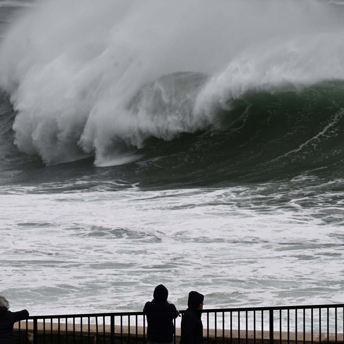
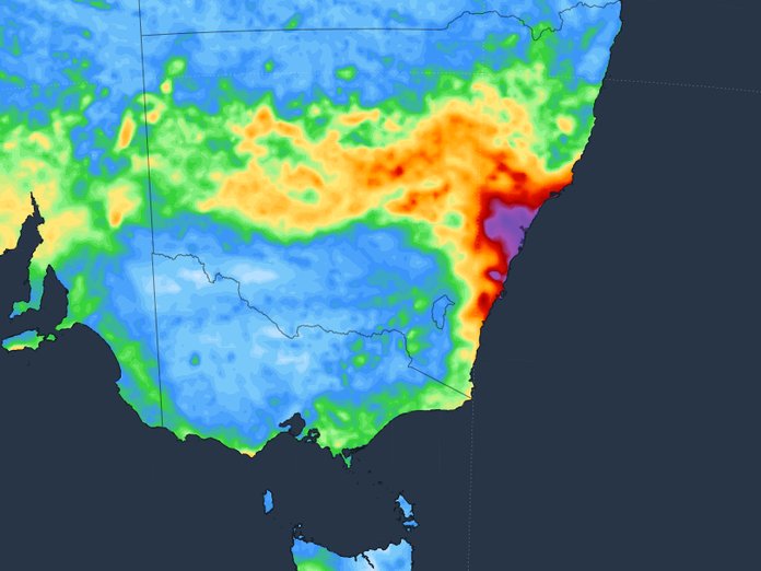
A low-pressure system is expected to impact northern New South Wales from tomorrow, bringing with it moderate to heavy rainfall, isolated thunderstorms, and damaging winds, the Bureau of Meteorology has warned.
Coastal communities are advised to prepare for flash flooding and potential disruptions.
Daily rainfall totals between 50mm and 100mm are forecasted for parts of the Hunter, Mid North Coast, and Northern Rivers districts into the weekend.
Damaging wind gusts exceeding 90km/h are also predicted along the Northern Coastal fringe.

In the state’s central and northern ranges, snow is possible above 1000 metres, which may cause transport disruption due to icy roads outside usual alpine regions.
The New South Wales State Emergency Service (SES) is making preparations and urging residents to monitor weather forecasts and prepare for potential flooding.
`We ask everyone to stay informed by downloading the Hazards Near Me app and setting up a watch zone for their area, so you are alerted with the latest warnings and advice,’` said NSW SES Assistant Commissioner Nicole Hogan.
`You should also stay across the latest weather updates on the Bureau of Meteorology website.` In light of the flood disaster that affected large parts of the Mid North Coast, Northern Rivers, and Hunter region in May, the SES is particularly concerned about the possibility of flash flooding this week.
If you need assistance from the NSW SES, call `132 500`.
In case of a life-threatening emergency, always call triple zero.

