

THUNDERSTORM ALERT: Queensland Braces for ‘Damaging Winds, Rain and Hail’ as Storms Sweep Across the State
- Severe thunderstorms predicted to hit southwest and interior Queensland, with potential for damaging winds, rain and hail
- Channel country, Lockyer Valley, Scenic Rim, Toowoomba and Ipswich in the firing line as storms move east
- Senior Meteorologist Felim Hanniffy warns of isolated severe storms, with risk of large hail and heavy rainfall
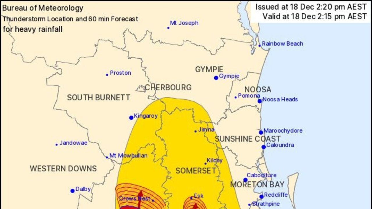
Queenslanders are bracing for a wild weather ride as a band of thunderstorms sweeps across the state, bringing the potential for damaging winds, rain and even hail. Senior Meteorologist Felim Hanniffy warned that the storms will be isolated, but couldn’t rule out an isolated severe storm as well.
“That’s what’s creating that increased instability,” Hanniffy explained. “The watch point is the storms will be isolated, but we couldn’t rule out an isolated severe storm as well.” He added that if a severe storm were to occur, it could bring the risk of large hail, damaging winds and heavy rainfall.
The storms are expected to weaken later tonight, however the cloud will turn into a rain band that is expected to bring rain to parts of the southeast including Brisbane. Hanniffy warned that “tomorrow, it should be a much weaker system and by that stage, as that breaks up, we could get another round of storms developing behind it in parts of the Darling Downs and Granite Belt into the afternoon and evening — and that could be a watch point.”
Residents in the affected areas are advised to stay indoors and keep an eye on the latest weather updates. The storms are expected to clear by Saturday, with temperatures dropping and cool mornings expected in inland areas and in the south.
This is the first storm in the region this spring, as weather continues to warm. Hanniffy noted that “we could see some warnings issued as we go into this afternoon and evening.”