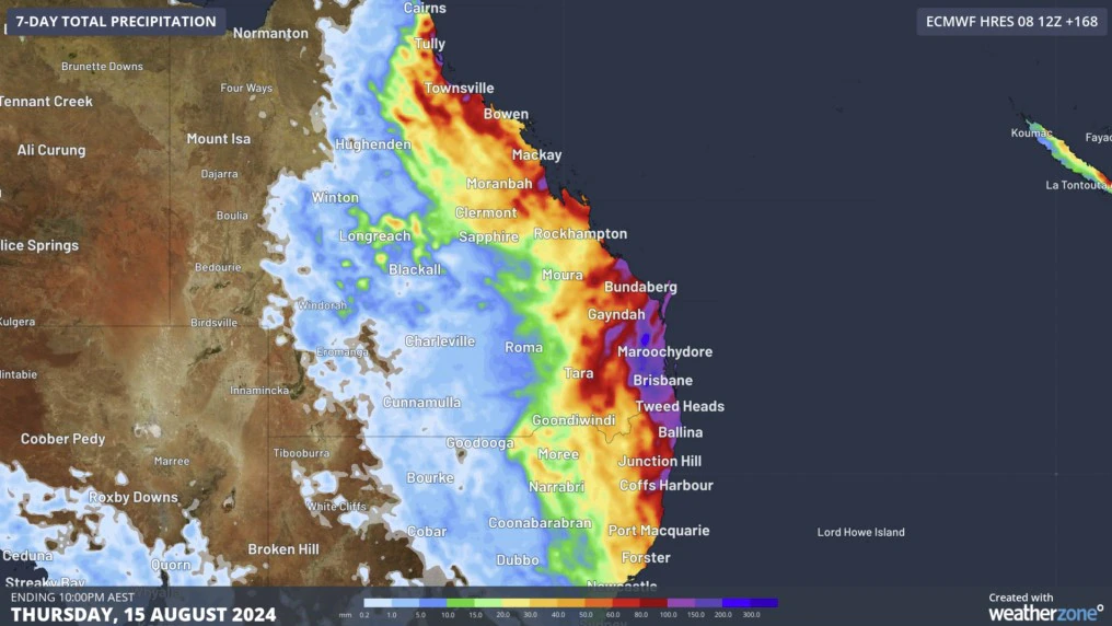
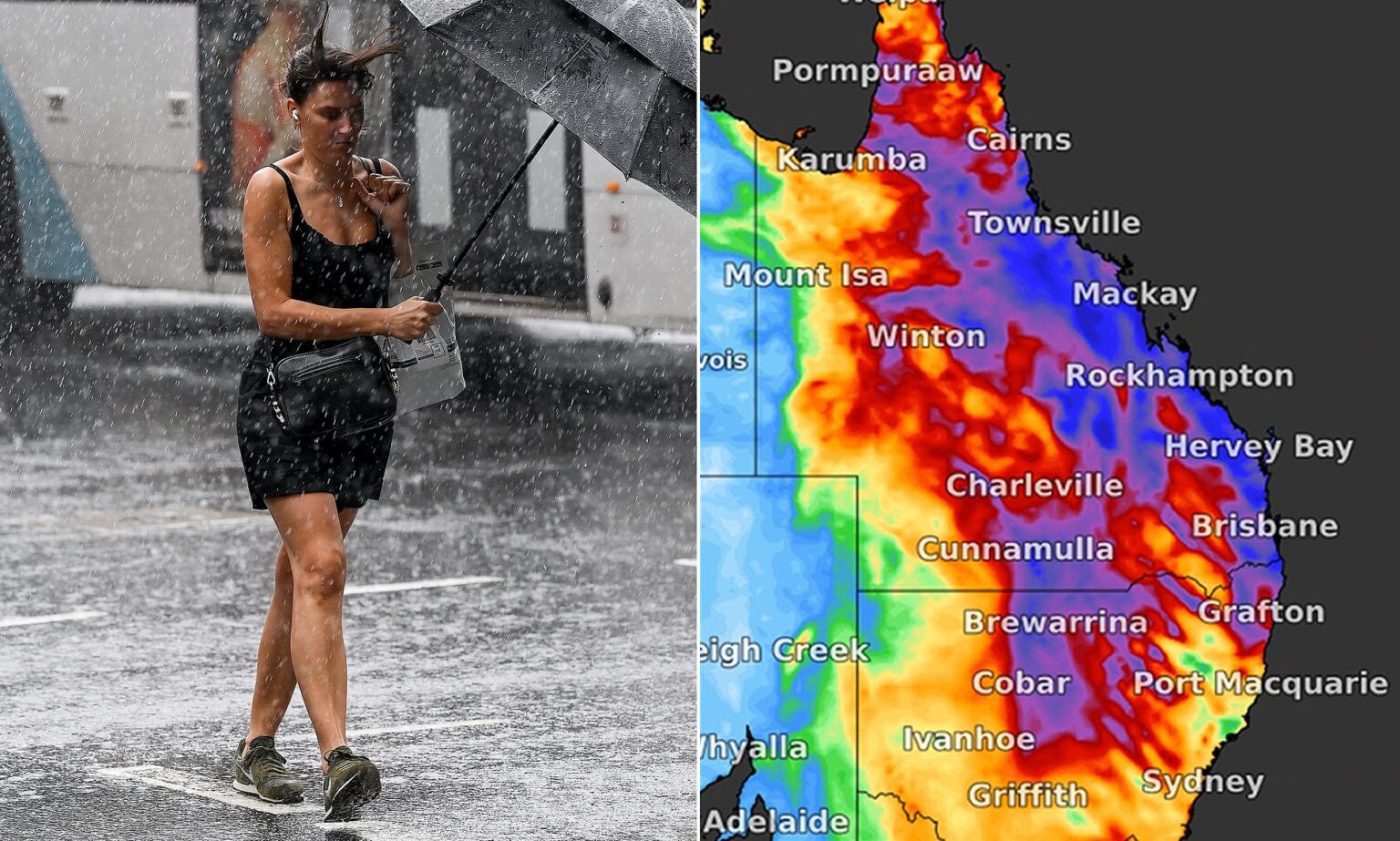
Meteorologists in NSW and Queensland warned that there’s a chance that a weather system could bring up to 150 millimeters of rain to the region.
People in several areas were also warned about flash flooding. Thunderstorms and widespread rain are expected to hit parts of the east coast of Australia starting Monday.

The Bureau of Meteorology said that thunderstorms could affect areas in eastern and central Queensland.
Although the trough is expected to move offshore on Wednesday, it’s still possible that it will develop between Hervey Bay and Mackay on Monday or Tuesday.
There’s a chance that the trough will bring up to 50 millimeters of rain to southeast Queensland and up to 25 millimeters to the coast from Cairns.
Dean Narramore, a meteorologist, said that the trough might stall and bring more rain to central Queensland.
He noted that the rain could reach up to 150 millimeters.
Although there’s a low likelihood of a major flood event, a flood watch was issued for coastal areas in South East Queensland due to minor flooding that could occur on Monday.
According to the warning, there’s a lot of doubt when it comes to the exact location and timing of the rain.
It also noted that the heavy rainfall could lead to flash flooding in some areas. The weather agency warned that isolated minor riverine incidents could cause disruptions to transport.
In addition, marine wind warnings were also issued for coastal regions in Tasmania, South Australia, Western Australia, and New South Wales on Monday.
Although Melbourne is expected to get showers on Wednesday, the temperature in the city is expected to reach 20 degrees Celsius by Thursday.
In Sydney, the temperature is expected to stay in the low 20s for the next couple of days. Temperatures in Brisbane are expected to reach high 20s by Friday.
Adelaide and Perth will experience showers throughout the week.
While temperatures in these locations will be in the low 20s, temperatures in Hobart are expected to reach 20 degrees on Tuesday.

