Residents of NSW and Queensland are being warned to prepare for possible dangerous weather conditions as storms begin to form in the region.
The start of the storm season in both areas usually occurs in October. It brings heavy rainfall and the threat of flooding to many communities.
The storms are expected to affect areas such as Coffs Harbour, Port Macquarie, and Brisbane when they form later on Tuesday afternoon.
They are also expected to produce heavy rainfall and hail.

These storms are also expected to affect areas such as Gold Coast, Brisbane, and Lismore. According to Alison Osborne, a meteorologist with Sky News Australia, the storms will most likely bring damaging winds and hail.
Although there’s a slim chance of rain, she noted that a trough moving southeast and southern Queensland would trigger showers and thunderstorms.
According to Ms. Osborne, the storms could bring large hailstones and powerful winds to areas such as the Gold Coast and southeast Queensland.
She noted that the weather conditions would become worse later in the afternoon and evening. This could affect residents residing further away from the coast.
The storms that are expected to form on Wednesday are likely to be high-end and capable of causing severe damage.
They are expected to affect areas near the Granite Belt and Darling Downs. In addition to destructive winds, the storms are also expected to bring heavy rainfall.
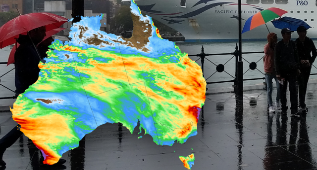
Apart from the storms, a weather system moving across the coast is also expected to bring rain to areas between Newcastle and Mackay.
In addition, temperatures across south-east Queensland are expected to drop over the next couple of days. On Tuesday, the high temperature in Brisbane was 32 degrees Celsius.
Temperatures in the capital city are expected to drop to around 24 degrees on Wednesday and 23 degrees on Thursday.
Temperatures are expected to reach highs of around 19 degrees Celsius in northern NSW during the next couple of days. This weather pattern will then improve as the week progresses.

