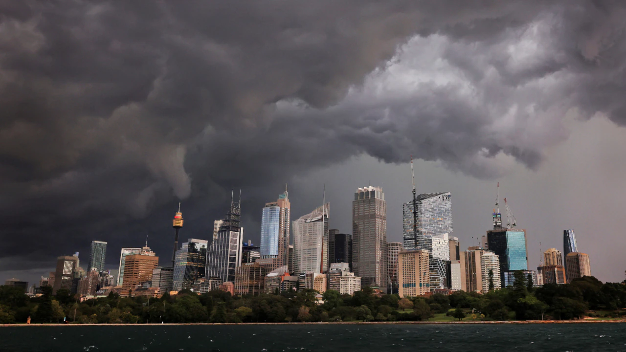
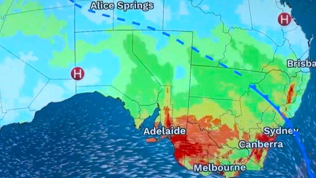
A powerful cold front and a warm northerly airstream are expected to combine to create wild weather conditions in the Southeast of the country in the next couple of days.
Meteorologists predict that these conditions will include gales, rain, and severe thunderstorms.
The first state to experience these conditions was Western Australia, where severe storms hit on Wednesday.
Today, the system will move across South Australia before it crosses into NSW and Victoria on Friday. Meanwhile, a low-pressure system will bring rain to Tasmania.

Parts of southern South Australia and western Victoria, which are still reeling from the effects of bushfires, are expected to get dumped.
The Bureau of Meteorology has issued multiple weather warnings for South Australia.
Residents in the state were urged to prepare for the possibility of severe storms and powerful winds, which could cause significant fire danger in the north.
According to Weatherzone, evening thunderstorms could form a squall line and move across the state’s eastern and central regions.
The predicted weather pattern will increase the likelihood of large hail and destructive winds.
The areas north of Adelaide are expected to be hit the hardest by the storms, but other regions such as the city may also experience them.
Thunderstorms with strong winds and hail are also possible in NSW and Victoria.
The storms in South Australia are expected to intensify this evening and intensify tomorrow as a frontal boundary from the state moves across the border and interacts with higher moisture levels in the eastern part of the country.

